
1. Rain (R, RA)
Rain, consisting of larger precipitation drops having a radii between approximately 0.5 and 2 mm, is produced by clouds that are several kilometers in depth. Furthermore, there are two processes by which the raindrops can form; the first involves only the liquid state of water and the second involving ice crystals.
(a) Rain in non-freezing cloud(warm rain)
Rain droplets begin as small cloud droplets which grow slowly by diffusion (or condensation). Once they grow to a sufficient size (radius= 30-40 um) coalescence growth takes over as the dominant mechanism and so growth proceeds much more rapidly. In Canada growth solely by this process is quite uncommon as it is more of a tropical phenomenon and hence gets the name "warm rain".

This is the more common process for rain development in the mid-latitudes. In this case, raindrops form when snowflakes or graupel, which develop in the sub-freezing layers of the cloud, melt as they fall into the above freezing air near the ground. More on snowflakes and graupel later on.


2. Drizzle (DZ, L)
Drizzle is composed of water droplets that have a diameter of approximately 0.1 mm. These droplets grow by the same process as rain in non-freezing clouds discussed above, i.e. by diffusion and coalescence. Drizzle however, fall from stratus clouds 1 km or less in thickness and thus it does not have the opportunity to grow by coalescence to the size of a typical raindrop. Sloping shorelines are a favoured location for drizzle.
Stratus Cloud with Light Drizzle

3. Snow (SN, SNW, S)
The growth of snowflakes is analogous to the raindrop growth by condensation and coalescence. Small ice crystals grow by diffusion of water vapour to their surfaces. As these crystals become larger they fall, colliding with and adhering to other crystals in a process known as aggregation to eventually form snowflakes. Aggregation occurs most effectively when temperatures are just below 0°C. As a result large snowflakes are found when the temperature is near freezing while small flakes are much more common at colder temperatures.

4. Snow Pellets (or Ice Pellets Type B) (GS)
If a falling ice crystal (or snowflake or frozen water droplet) encounters supercooled water droplets which then freeze on contact, growth by accretion occurs. The resulting ice particle is referred to as graupel. It has a rimed structure (white and opaque) and is most commonly spherical or conical in shape having a diammeter of 2-7 mm. The graupel particles that fall to the ground are referred to as snow pellets.
Most typically snow pellets fall from towering cumulus (TCU) cloud in spring and fall when surface temperatures are between 0°C and 8°C. Interestingly enough, more than 80% of all shower rainfall in Canada is the result of the melting of graupel before it reaches the ground.
Graupel

5. Hail (GR, A)
Hail is differentiated from graupel by its appearance, size, and density. Hailstones are typically 5 to 30 mm in diameter, translucent or transparent and consist of layers of clear and milky white hard ice. Hailstones usually begin as graupel particles that then begin to grow by a different kind of mechanism. While graupel particles grow by accreting supercooled water droplets that freeze on contact, during the hail process the water droplets do not freeze on contact. Instead, a thin shell of water exists on the particle in which cloud droplets flow and freeze into a hard clear ice structure (which contains air bubbles). This difference in growth can be attributable to the surface temperature of the particle. The surface temperature of a graupel particle is less than 0°C while for a hailstone it is ~ 0°C.
There are 2 primary factors controlling the heat balance at the particles surface: there is the latent heat released by freezing cloud droplets and there is heat lost from the surface by conduction and convection. As the particle becomes larger it is unable to dissipate heat at a sufficiently high rate in order to maintain the surface temperature at ambient. Consequently, the surface temperature will approach 0°C. For typical atmospheric conditions this occurs at a ~10 mm diameter and thus this is the dividing line between hail and graupel.
Also in order for hail to grow there needs to be very high liquid water content in the cloud and strong updrafts. Therefore, hail usually falls from large cumulonimbus (CB) clouds but small hail may develop as well in TCU.


6. Ice Crystals (IC)
I mentioned earlier that ice crystals are the embryo for snowflakes. They also occur at the surface falling from either clear or cloudy skies, usually when temperatures are very cold. They can be found in various shapes and sizes including needles, hexagonal plates and hollow columns with the shape being largely a function of temperature. These crystals grow by diffusion of water vapour primarily onto sharp corners and edges.
7. Snow Grains (SG)
Snow grains are the solid equivalent of drizzle. They are very small white and opaque grains of ice that are fairly flat or elongated with a diameter of < 1 mm. As well, they grow by diffusion and aggregation like snowflakes, but like drizzle they fall from low, relatively thin stratus cloud and therefore do not have the opportunity to aggregate to the same size of snow. Below is a very simple schematic comparing different precipitation elements.

8. Freezing Rain (FZRA, ZR)
Most of you probably know what freezing rain is. Freezing rain is supercooled rain droplets that freeze upon contact with the ground or other objects at the Earth's surface. The formation processes are exactly the same as the ones for rain. Freezing rain however falls from an above-freezing layer into a shallow below-freezing layer (about 1500 feet thick) at the Earth's surface. The surface temperature itself is around 0°C during a freezing rain event. You can refer to the end for a typical sounding for freezing rain.

9. Ice Pellets/Sleet (PE, PL, IP, SLT)
Ice pellets form in a similar manner to freezing rain. If the below-freezing layer at the Earth's surface is sufficiently deep the supercooled raindrops will freeze into ice pellets before reaching the ground. Ice pellets often precede or accompany freezing rain and with ice pellets there is freezing rain aloft, which is crucial for aviation.

10. Freezing Drizzle (FZDZ, ZL)
In stratus cloud, cloud droplets and small precipitation droplets (drizzle) can exist in a supercooled state typically at temperatures as low as -10°C. If these supercooled drizzle droplets fall to the ground, where the temperature is below 0°C, (or come into contact with the airplanes surface), they will freeze on contact. However it is important to note that unlike the case for freezing rain, freezing drizzle does not require the presence of an above-freezing layer aloft.
11. Freezing Fog (FZFG)
This is a fog composed of supercooled water droplets which then freeze just after they wet the Earth's surface.

12. Mixed Precipitation (MXD PCPN)
This is the combination of two or more winter precipitation elements occurring at the same time or over a period of time at the same location.
Here are the different precipitation sounding profiles for most of the types of precipitation mentioned above:

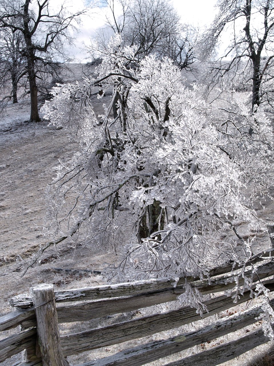
There is a picture I've taken some time ago .. thought it might be of interest to you:
ReplyDeletehttp://www.album.bg/ctac/images/11466695/